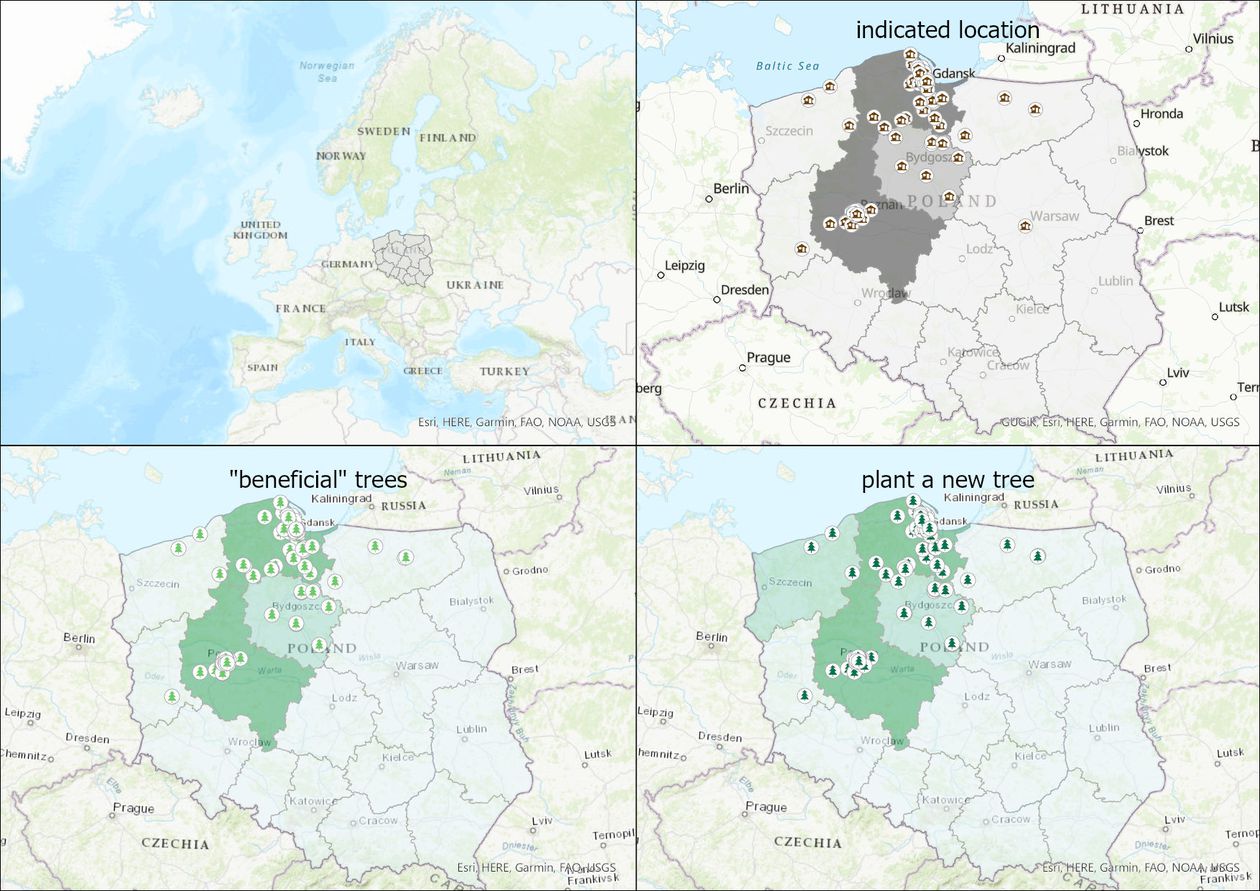
The effect of interview location on the perception of Ecosystem Services provided by trees. A Polish case study.

Description
Several survey research methods are available to study attitudes towards the environment, including: CAWI (computer-assisted Internet interview), CATI (computer-assisted telephone interview), CAPI (computer-assisted personal interview), and PAPI (paper-pencil interview). An increasingly popular CAWI approach is the geo-questionnaire – an internet survey combined with an interactive web-based map that links answers with geospatial information (e.g., the respondent's place of residence). It is used in social and geographical sciences as well as in spatial planning, as a means of communication with residents and of soliciting active participation in matters concerning their community. However, the popularity of mobile devices (phones, tablets) means that the location where a respondent completes a questionnaire may differ from their home location. Therefore, it is important to determine to what extent the place where a survey is completed influences the results obtained from a geo-questionnaire (GQ). The data set provided here was created to address these questions.
In our research, we employed a GQ in which respondents indicated Ecosystem Services (ES) provided by trees in two types of locations: inside and outside of a building. To control age and level of education, we recruited students (age 18-25) for interviews, as they are a relatively homogenous group. We excluded students of biology and similar subjects, as they could have in-depth knowledge of the study topic, which could confound study results. Data are presented in aggregate form in hexagonal units with area 34,6 m2. Research was conducted in the spring of 2019 in two Polish academic cities: Gdańsk and Poznań.

Dataset file
hexmd5(md5(part1)+md5(part2)+...)-{parts_count} where a single part of the file is 512 MB in size.Example script for calculation:
https://github.com/antespi/s3md5
File details
- License:
-
open in new tab
CC BYAttribution
Details
- Year of publication:
- 2021
- Verification date:
- 2021-11-27
- Creation date:
- 2019
- Dataset language:
- English
- Fields of science:
-
- sociology (Social studies)
- forestry (Agricultural sciences)
- DOI:
- DOI ID 10.34808/apm8-re13 open in new tab
- Funding:
- Series:
- Verified by:
- Gdańsk University of Technology
Keywords
References
- dataset Attitudes to tree removal on private properties in two Polish cities.
- dataset Attitudes to tree removal on private property in rural and urban Polish municipalities.
Cite as
Authors
Version this document has several versions
-
Current versionversion 1.1release date 2021-11-27
-
version 1.0release date 2021-06-30
seen 270 times
