Search

Description
Dataset description: Raw images from photogrammetric survey.
Object: Wielkopolska Crossroad
Location: Gdynia Orlowo, Pomerania, Poland
Drone type: DJI Mavic Pro 1
Flight plan: Double Grid
Target Product: 3D Model
Date: 25.11.2018
Direct georeferencing: yes
Metadata data: yes/GPS
GCP: No
GCP Quality: N/A
Camera Name: DJI FC220
Model type: Perspective
Image dimensions: 4000x3000 pixels
Sensor size: 6.16 mm
Number of photos: 563
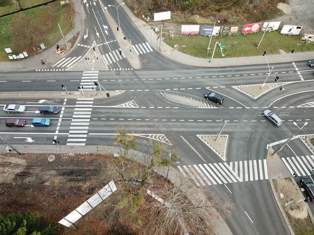
Example Photo:
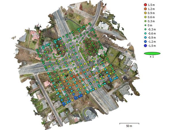
Camera positions
Dataset file
SI Dataset - Wielkopolska Crossroad.zip
2.1 GB,
S3 ETag
f24eea575968aaec06884c70e1656c2f-5,
downloads: 52
The file hash is calculated from the formula
Example script for calculation:
https://github.com/antespi/s3md5
hexmd5(md5(part1)+md5(part2)+...)-{parts_count} where a single part of the file is 512 MB in size.Example script for calculation:
https://github.com/antespi/s3md5
File details
- License:
-
 open in new tab
CC BY-NCNon-commercial
open in new tab
CC BY-NCNon-commercial
Details
- Year of publication:
- 2022
- Verification date:
- 2022-12-19
- Creation date:
- 2018
- Dataset language:
- English
- DOI:
- DOI ID 10.34808/wba3-5v46 open in new tab
- Series:
- Verified by:
- Gdańsk University of Technology
Keywords
References
Cite as
Authors
seen 122 times