Search

Description
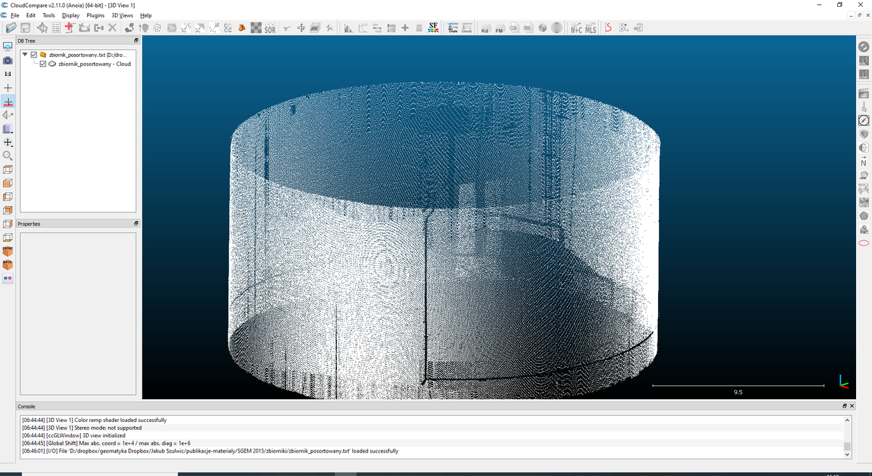
The product presents a point cloud in the set of coordinates X Y Z. The data was obtained by terrestrial laser scanning and its processing for the analysis of tanks geometry. The development process indicates the possibility to obtain the reliable results useful for the evaluation of the tank side surfaces geometry.
Data obtained using such method may not only be an important element in logistics processes related to the management of fuels base but they also allow for the assessment of the technical condition and safety of the fuels base.
Scanned object: liquid fuel tank. Scan resolution not lower than 20 cm. The scanning accuracy is not worse than 3 mm.
Measuring instrument: C10 Leica. Coordinate system: local coordinates.
Dataset file
data.txt
8.9 MB,
S3 ETag
926b43ead6ecd6d71b1072cea17f2aca-1,
downloads: 224
The file hash is calculated from the formula
Example script for calculation:
https://github.com/antespi/s3md5
hexmd5(md5(part1)+md5(part2)+...)-{parts_count} where a single part of the file is 512 MB in size.Example script for calculation:
https://github.com/antespi/s3md5
File details
- License:
-
 open in new tab
CC BYAttribution
open in new tab
CC BYAttribution - Software:
- ArcGIS, CloudCompare, Leica Cyclone 3D, LIMON, DEPHOS SOFTWARE
Details
- Year of publication:
- 2020
- Verification date:
- 2020-12-17
- Dataset language:
- English
- DOI:
- DOI ID 10.34808/633w-t097 open in new tab
- Verified by:
- Gdańsk University of Technology
Keywords
- liquid fuel tank
- c10 Leica
- terrestrial laser scanning
- silo
- measurements of tanks
- silos measurements
- measurement of deformation
References
- publication 3D MODELLING OF CYLINDRICAL-SHAPED OBJECTS FROM LIDAR DATA - AN ASSESSMENT BASED ON THEORETICAL MODELLING AND EXPERIMENTAL DATA
- publication 3D modelling of liquid fuels base infrastructure for the purpose of visualization and geometrical analysis
- publication Inżynieria odwrotna bazy paliw płynnych w Gdańsku
Cite as
Authors
seen 816 times